Having driven through no-mans land from Bolivia in our transfer van, we sat waiting at the very large, modern Chilean immigration control point, waiting and waiting.
There was a queue of vehicles patiently trying to get through, but it took 45 minutes before we were allowed to drive inside the facility, unload all our bags to be searched mainly for food, plus get passports stamped.
After the delay and whilst people rummaged through our bags, I said to them, “We use dogs to sniff bags for food in Australia!” then said, “a lot quicker”. It wasn’t really appreciated with the retort, “You in Chile” then, “you can go… welcome to Chile!”
At the border we were still at 4,500m altitude and after travelling for 40kms on a steeply declining road out of the Andes, we reached San Pedro de Atacama at 2,408m.
On the drive down there were an extremely large number of run-off emergency braking exits for runaway trucks returning to Chile, mainly from Argentina.
San Pedro de Atacama is located in part of the 1,000km long Atacama Desert, the driest in the world and near this town are salt flats like Bolivia, containing LOTS of lithium and have the largest actual operating lithium mines in the world.
Also close to San Pedro are multiple volcanoes, including Lascar, a brooding giant and the most active in the Andes as well as Licancabur, the volcano we saw first in Bolivia near the border with Chile.
 |
| Smouldering giant volcano near San Pedro de Atacama |
San Pedro de Atacama was a fascinating and smallish town of 2,500 residents, but it was also full of backpackers, many doing 3-4 day tours to Uyuni in Bolivia and then back again.
 |
| San Pedro de Atacama was very active all day and night |
We had visited Chile before in 2014 going to the capital Santiago and its surrounds, plus exploring way down in the south of Chile in Patagonia, so had planned to only spend 2 days in San Pedro de Atacama after such a long overall trip before returning home.
 |
| Tour routes around San Pedro de Atacama |
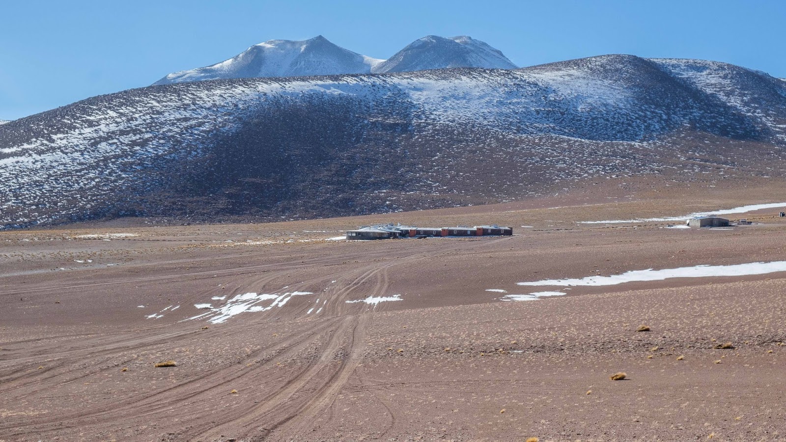
During our 2 days we took 4 local tours, the first being to El Tatio Geysers which involved being picked up by bus at 4:30am, driving off into the desert whilst climbing back to 4,300+m where there was a stack of snow and temperature of -11c when we arrived.
The sun was just starting to rise behind the plumes of steam rising into the air from the geysers, which was quite a sight, as were the tourists swimming nearby at another location in warm thermal pools.
 |
| Sun rise behind the El Tatio Geysers |
 |
| El Tatio geysers and volcano |
 |
| Aaah the bliss of warm water |
Whilst on the way back to San Pedro, we stopped at the very small village of Machuca, surviving only by selling extremely popular barbequed lama on skewers and tasty empanadas to tourists.
 |
| The church of Machuca |
 |
| Lama skewers enticing a queue of people in Machuca |
Our 2nd tour involved going to 3 different locations to admire some Atacama Desert lagoons, all being very different from each other. The weather was reasonably warm, so one of the lagoons was very popular be cause swimming was allowed.
People however learned vey quickly though that the water was really cold but was so incredibly salty, they couldn’t sink. We didn’t go swimming and at the other lagoons, they were only for scenic viewing and behind every lagoon stood the Andes mountain range, disappearing way down south into the distance.
 |
| Large lagoon with the Andes stretching right across the horizon |
 |
| Us standing next to a sink hole lagoon |
The 3rd tour was to Rainbow Valley and had 2 interesting components to the tour. First we visited an area to look at many petroglyphs, or carvings into in this case, volcanic rock. They had been created by the Atacameno peopled, dating back approximately 10,000 years.
 |
| Petroglyph of lamas |
The Attacameno people were a non violent culture who reputedly over the years, interacted a lot with the people of Tiwinaku which we visited outside of La Paz.
 |
| Locally called 'mother in-laws cactus'... very prickly |
Again, the Attacameno people looked at the stars, high up in the Andes using pools of water making the sky flat. They viewed the night sky by the dark spaces, which were shaped like animals, and key stars were their eyes etc.
Not far from the site of the petroglyphs was the multi coloured Rainbow Valley, achieving the colours due to the various minerals in the rock, which had been pushed to the surface over the years. Very beautiful indeed!

 |
| Rainbow Valley |
The final tour involved astronomy, and after driving out of town and finding ourselves standing in a local’s backyard, we found ourselves peering through large telescopes at the stars.
First were Venus and Mars but then everyone, including ourselves simply said “wow!” after seeing Saturn and its rings so clearly. With no moon in the sky luckily, I was keen to have a go at trying to get some photos of the nights’ sky.
 |
| Lasers were used to point towards various objects in the Milky Way |
This area of Chile is famous across the world for astronomers and stargazers because it has some of the best skies in the world for this activity. The world’s largest radio telescope called ALMA is located nearby, high in the Andes in fact.
With our short but very enjoyable time in San Pedro at an end, we organised a transfer to the city of Calama before catching a flight to Santiago where we simply overnighted and then caught a flight back to Australia and home!
With that, our 3 month and 1 week sojourn through South America had come to an end. It had been a rewarding and really enjoyable trip despite the length in time involved.
South America Trip Summary, Tips & Learning’s
We thought it might be useful to share a few facts, learnings and maybe a few tips used as a result of both planning and undertaking our South American trip.
Below are some headings in no particular order to share this and hope it is both interesting and possibly useful.
First off however is a map of ALL the actual flights, boat & road trips, hikes etc we made during our time in South America. You will quickly see that the flights (Cyan colour) dominate the map because South America is a very large continent, about double the size of Australia.
 |
| All actual travels throughout South America 2018 |
Flights
During our 3+ months of travel within South America we took 21 flights eg. Quito to Cartagena consisted of 2 legs, Quito -> Bogota -> Cartagena = 2 flights. This is because of the size of South America. We booked all of them via the internet.
To book flights, we used Skyscanner as a starting point, simply to understand which airlines fly from where, when, plus to gain some insights to costs. It also tells you which 3rd party you would be booking a flight through eg. Expedia or GoToGate purely as examples.
To book flights, we used Skyscanner as a starting point, simply to understand which airlines fly from where, when, plus to gain some insights to costs. It also tells you which 3rd party you would be booking a flight through eg. Expedia or GoToGate purely as examples.
Be warned though, not all flights shown on Skyscanner actually exist, but you learn this when trying to book a flight.
Early on we booked a few flights using Skyscanner, say via Expedia but not very long into our planning, we used Skyscanner to get the broad info and then went to the actual airline's websites to see what their prices were compared to the 3rd party.
Early on we booked a few flights using Skyscanner, say via Expedia but not very long into our planning, we used Skyscanner to get the broad info and then went to the actual airline's websites to see what their prices were compared to the 3rd party.
Usually it was only a few $’s higher, so we started booking directly with the airline(s). So why do this?
In the event a flight is changed, which actually happened more than expected, we would get the advice of any changes directly from the airline versus relying on a 3rd party. It was also easier to check 'My Bookings' detail of an airline directly whilst on the road.
In the event a flight is changed, which actually happened more than expected, we would get the advice of any changes directly from the airline versus relying on a 3rd party. It was also easier to check 'My Bookings' detail of an airline directly whilst on the road.
A few general experiences:
- Most of the airlines boarded and departed early in South America.
- Departure gates got changed without any public announcements, so we had to keep an eye on the departure boards.
- There was a large range of check-in baggage allowance weights (15 to 30kgs), so we packed to a middle weight of around 20kgs and paid any penalty, which happened once.
- All the airlines were okay.
- All the checked baggage is scanned before being loaded onto planes for drugs, batteries etc.
Tours
Any tour greater than 1 day were individual not group tours because we wanted to tailor destinations, length of stay and start/end dates.
Group tours are usually cheaper, so to reduce the price, we researched by reading lots of reviews and found reputable ‘in country’ tour operators. For example, the longer Peru/Bolivia tour was booked with an operator located in Peru.
The Galapagos operator was based in Ecuador but we did learn if you can find a boat you’re happy with (read lots of reviews) and its dates and route itinerary, quite often you can book directly with the boat.
Paying for tours with an operator based in say Peru etc meant completing international money transfers. Most of these were done using our bank’s online tools without any issues and on one occasion, we used OFX, formerly known as OzForex.
In locations we had safety concerns about eg. Rio de Janerio, we used Viator to book small group day tours.
A tool we found very useful with tour operators was WhatsApp, used on smartphones (Apple or Google). Many of them promoted a WhatsApp number and with free Wi-Fi in 98% of hotels, we could message them to confirm pick-up times and locations for day tours especially.
Safety
There were certain destinations we had large safety concerns about before leaving home eg. Rio. So this is what we did to reduce the safety risks generally:
- Did not wear any jewellery, I even left the wedding ring at home, just to reduce visible triggers for thieves.
- Did not carry large cameras in high-risk areas, only used the small compact camera.
- Did not carry wallets but did have some cash we were willing to lose or hand over if we were being robbed.
- Obtained local knowledge about where to walk and not walk and when.
- Did local day tours with mainly pick-up and drop-offs at our hotel. We used taxis booked by hotel to get to remote pick-up locations.
- Organised airport transfer from/to each hotel to avoid being ripped off by taxis or taken somewhere by a ‘dud’ taxi to be robbed.
- When we travel we don’t dress to impress but simply fit in.
- We used an app called ‘Here We Go’ maps when travelling. For example for this trip, we downloaded the maps for Sth America that can be used offline without having mobile data. We then capture the location of each hotel as a 'Home' location, so we can always walk back to it or know where a taxi or pick-up is taking us.
- Used reviews, Tripadvisor and other sites to pick hotels located in safer districts when organising own destinations.
Language
We do not speak Spanish but did learn many words during such this extended trip. Most of our travelling did involve having English-speaking guides with us.
When they weren’t around, we were mainly in tourist-orientated areas where people spoke some English or we would use Google translate to ask for things.
People
Everywhere we travelled we found the people of South America to be very welcoming and friendly, especially if we tried using more of the Spanish words we were learning. They were always willing to help us and were very polite, even in the more safety risk areas.
Altitude
You would have noticed we kept providing the altitude of each location. From about 2,000m altitude up, walking up stairs or slopes starts getting harder.
Everyone is different and it doesn’t matter how fit you are, but getting altitude sickness is a real risk, especially when you get into the 3,000+ metre range.
We met people who had to go to hospital due to this, because they had flown into somewhere and then went straight to a high altitude destination, for example like Cusco which is over 3,000m altitude.
The common advice is drink LOTS of water and coca tea. Avoid eating too much meat and another was to drink Coca Cola or other sugary drinks and take chocolate with us. We took this advice.
Your body needs time to acclimatise to altitude so we planned accordingly. Additionally we had altitude sickness tablets with us just in case, but didn’t have to use them. The tablets do make our fingers tingle after using them in Tibet.
General
We should have spent more time in Colombia because it was delightful, especially the people.
In South America they have old, narrow pipes for the septic system, so if you’re considering going there, just be ready to put all your toilet paper in a bin and not the toilet.
We create a spreadsheet for each trip to track costs, record flights, e-ticket numbers & details, tours, times, hotel names, booking numbers & addresses etc etc and then use an extract of this (no costs etc) to produce a PDF itinerary for sharing within the family, part example below.
 |
| The colours are used to highlight Flights, Accomodation etc |
We also loaded a copy of the PDF itinerary onto the phone/tablet to have quick access to any crucial detail.
To book hotels we first used Trivago to find the names of possible hotels which met specific criteria (price range, no. of stars, distance from city centre, Wi-Fi access, airport transfers etc etc) then checked on the likes of Booking.com to check prices and also if additional hotels nearby.
We prefer to book with sites not requiring a deposit up-front and able to be cancelled without penalty because sometimes we will check most expensive prices again later, and if they have dropped compared to our existing booking, book again at same location then cancel the original booking.
We have stored a scanned copy of passports, any visas and other critical documents on both the tablet, and as attachments in email, in case we were robbed or lost these.
We have been asked frequently since returning, did we get sick of travelling over such a long time. There were a few times in the last few weeks when we did start to long for home, BUT then we would still have what we called WOW moments.
Pretty well each day something would happen or be seen where we would go… 'WOW!' These moments weren't always some sort of spectacular scenery or historical site for example, it could have been anything and our bigger point is... South America is full of them. This kept us going right to the end.
We learned it was nigh on impossible to get a SIM for the phone once in South America to cover every country we were visiting, so we got one called Go-Sim which we ended up only having to use a few times to check something with a tour operator. It was nice to have in case of an emergency. You need an unlocked phone to use this or any local SIMs.
Well that's it, South America 2018... THE END, so for now and until next time, go well.